Astlin Farm
In our Northeast Woods lies the remains of a burned farmhouse. All that’s left today is a stone foundation and a well. This was once where the Astlin family lived. They moved here in 1875 when Richard and Eliza Astlin bought 273 acres. The family lived here for generations. Babies were born here. Children grew up, and they attended school at the Cedar Bend Schoolhouse (near the bend in West Willard Road). But disaster struck in 1908! The farmhouse burned down. Luckily no lives were lost in the fire. But the family had to split-up and live with relatives. The farm was abandoned.
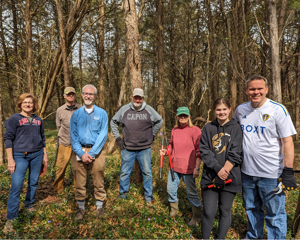
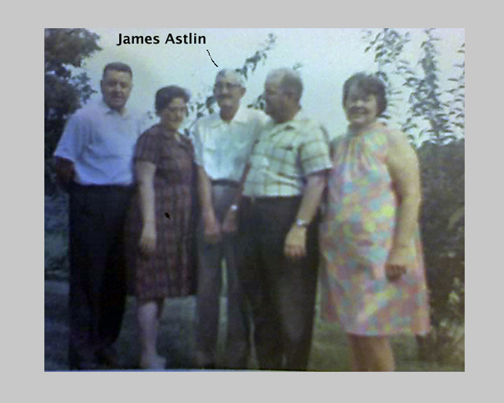
Meet the Astlin family
Three generations lived in on the Astlin Farm. The last child born there was James R. Astlin. As a young man he courted a Virginia woman named Mary Belle Walters. To visit her he had to strip-off his clothing and wade across the Potomac River – while holding his clothes over his head. This, and other family stories were shared with the Archaeology Committee when we had the pleasure of meeting several members of the Astlin family in May 2013.
We were contacted by descendants of the Astlin family after they found their last name appearing in our Chapter Newsletter story about their farm. They shared some family photos, including one with James R. Astlin. His story is important because he and Mary Belle took out a marriage license in Maryland in early 1908. Their first child was born in the District of Columbia in late 1908. Furthermore, the 1910 Census shows the people from the Astlin Farm living with a number of different relatives. James, Mary Belle and their baby James W. were living in DC. This implies that the farmhouse burned before 1910 and most likely in 1908.
When we met the Astlin family we were lucky to spend time with Mary “Pat” Astlin-Spindle (Granddaughter of James). She told us that as a young girl she would stay with her Aunt who lived in the C&O Canal Lockhouse near Edwards Ferry. She would go back to their family’s farm and pick berries growing near the foundation and well.
Archaeological investigations
The Archaeology Committee began it’s research of the Astlin Farm using old maps. Initially the farm was accessed by a short but steep path that crossed Horse Pen Creek. This is shown in an 1878 map named Atlas of 15 Miles. But a 1905 map shows an improved road that passed through the neighboring farm to the north (The Jarboe farm). This new path was longer but relatively flat.That would have been better for horse and wagon travel. Remnants of that wagon road are still visible.
There have been 7 field trips to the AstlinFarm:
1. March 2013 – Collected numerous surface artifacts.
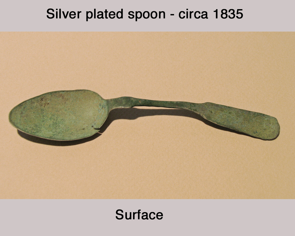
2. May 2013 – Escorted Astlin family to the Homestead and found a spoon on surface.
3. September 2013 – Searched for signs of a bridge near creek. Noticed the Vinca Patch.
4. April 2014 – Searched for and located old wagon road
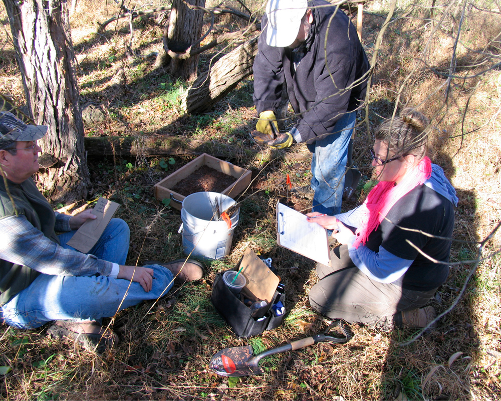
5. November 2014 – Archaeology dig led by professional Archaeologist at Homestead Site.
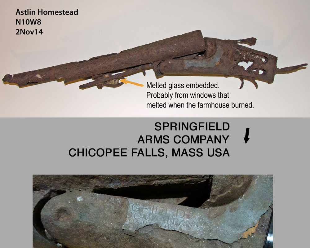
Discovered shotgun remains that prove the house was occupied at time of fire.
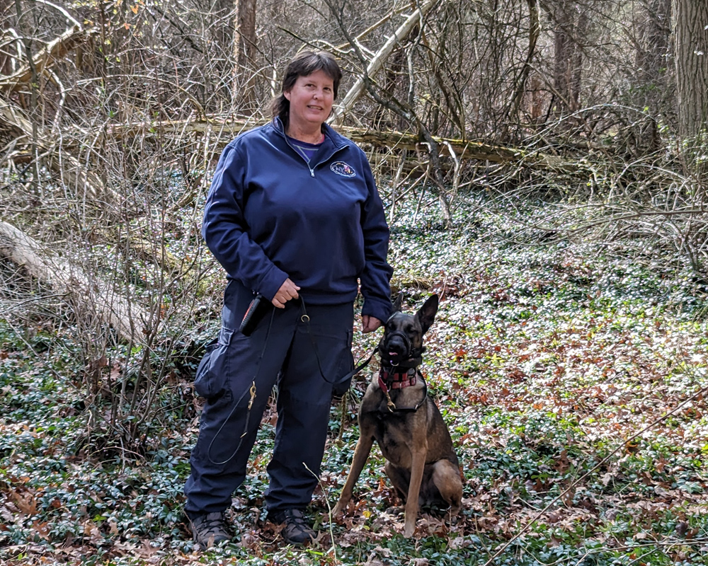
6. February 2024 -Searched Vinca Area for potential lost slave cemetery using cadaver dogs.
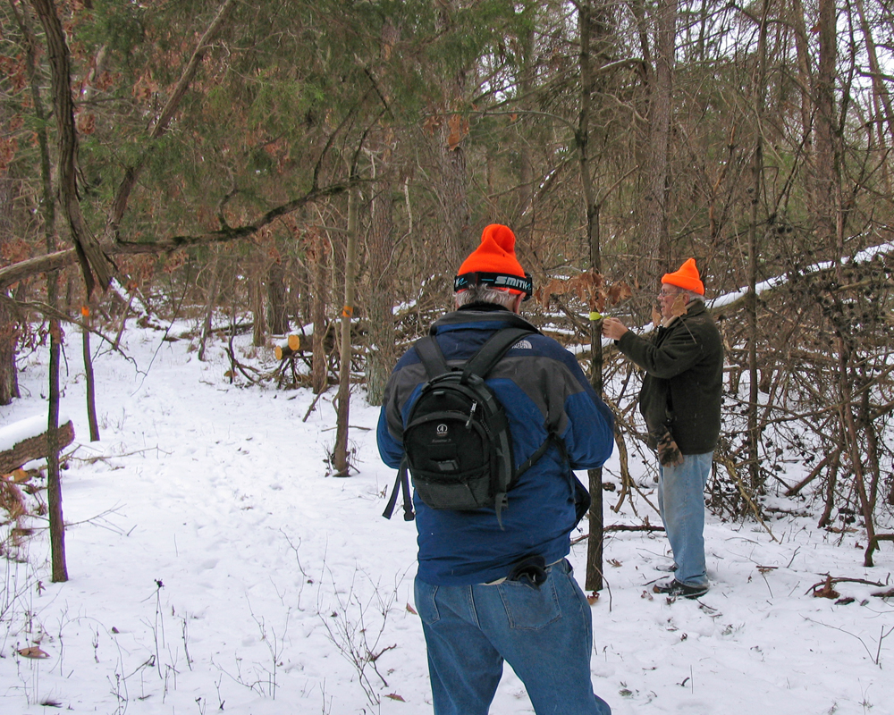
7. March 2024 – Searched Vinca Area for potential lost slave cemetery using GPR.
Artifacts
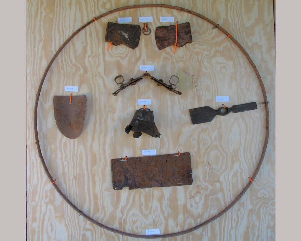
This Archaeological site has yielded a wide range of artifacts that provide a glimpse into the history here. Shortly after we purchased the Northeast Woods we found rusted objects scattered around the stone foundation. These included things such as shovels, axe heads, a cow bell and a silver plated spoon (made 1830 – 1840). The presence of large chunks of melted glass tell us that the building here burned down (the fire melts the windows).
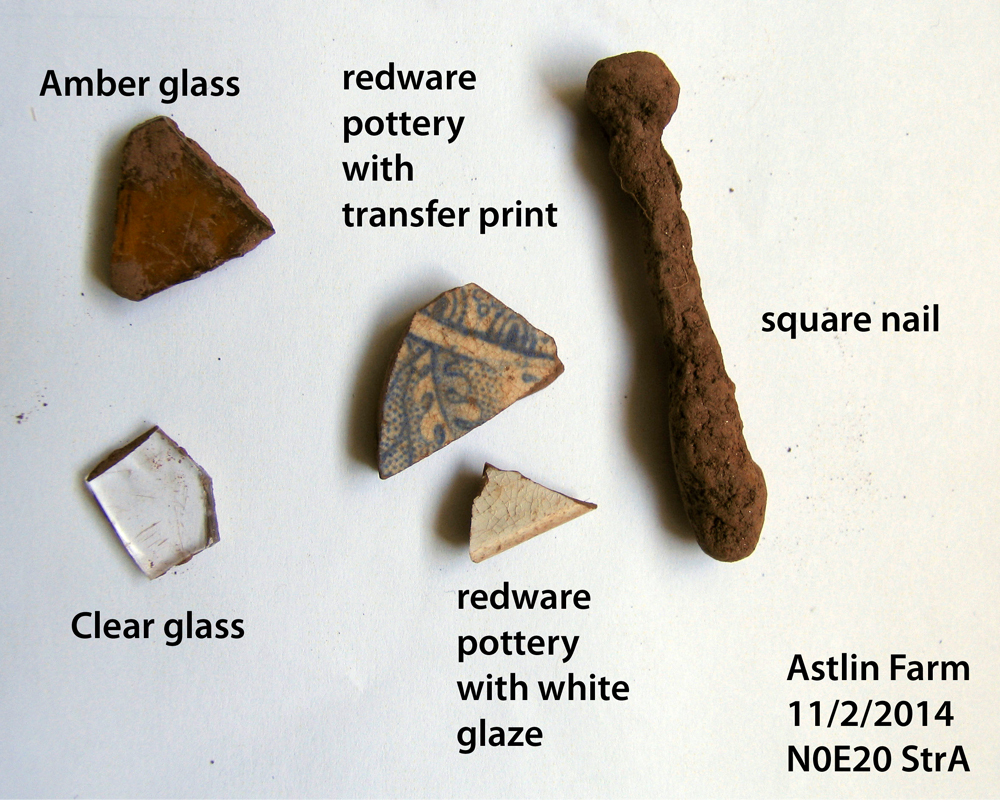
So far we’ve only had one archaeological dig at this site. That was during November 2014. In addition to bits of broken pottery we found the remains of a shotgun! This provided the answer to a question: was the farm abandoned because of the fire, or did the house burn after it was abandoned? The presence of melted glass embedded in the shotgun proves that the gun was in the house when it burned. And therefore, the home was occupied when the fire occurred.
Lost Cemetery?
The presence of Vinca (aka Periwinkle) is a sure sign of past human presence in an area. This non-native plants spreads slowly by runners (not seed) . After being planted, it persists for centuries. That’s because animals don’t eat it and it survives tough growing conditions.
The Chapter’s Trail Network leads directly through the Vinca Patch, so it’s hard to miss! This tells us that centuries ago somebody planted decorative flowers here. Something of some significance was located here. Could it have been a cemetery? The Astlin family did not have a cemetery on their farm. Records prove that. But the Vinca site had several characteristics that corresponded to that of an old forgotten cemetery.
The 1865 Martenet Map shows that the Conelley Plantation was located in the general area of our Northeast Woods. So, the County contacted the Chapter when it began trying to locate lost slave cemeteries. They wanted to search our Northeast Woods. The Archaeology Committee assisted them. We escorted them to the Vinca Site on two occasions. The result as that we found no evidence of this area being a cemetery. But that was actually unexpected by the experts. The dog handler remarked: “I’ve never seen so much Vinca and no graves!”.
Nevertheless, this careful examination of the Vinca Site resulted in us discovering a number of cut stones piled close together. The location corresponds roughly to the center of the Vinca patch (the flower spread out equally in all directions). This is now documented as The Vinca Site.
The Vinca Site
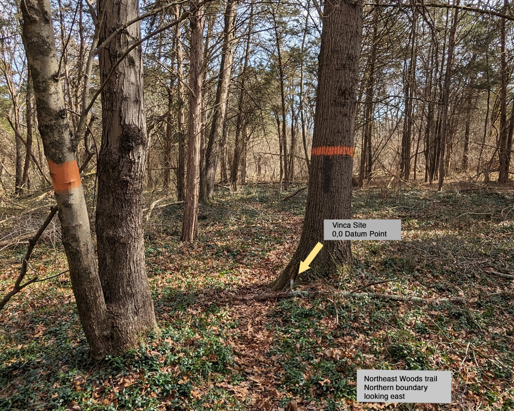
The Vinca Site is about 400 feet northwest of the Homestead Site. Here the Vinca forms roughly a circle with a radius of 80 feet.The zero-zero datum point for this site is marked by a small dowel in the ground next to a tree with an orange blaze. Across the path is a second tree with two trunks and one orange blaze.
About 35 feet north of this zero-zero point there are cut stones located together. What we’ve found so far is too small to be a foundation, but perhaps a hearth? We used a metal detector and it indicated a large number of “hits”. We only had time to dig two STPs and only found one square nail. It is a square cut nail indicating manufacture between 1800 to 1880 (most likely).
